How State Borders Were Drawn: Rivers, Parallels, and Historical Surveying Disputes
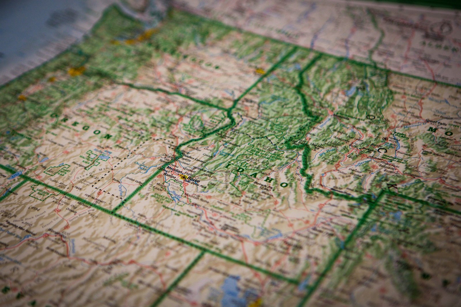
Look at a map of the United States and you will notice an immediate contrast between the eastern and western halves of the country. East of the Mississippi River, state boundaries twist and wind along rivers, mountain ridges, and colonial land grants. West of the Mississippi, states take on crisp geometric rectangles bounded by lines … Read more