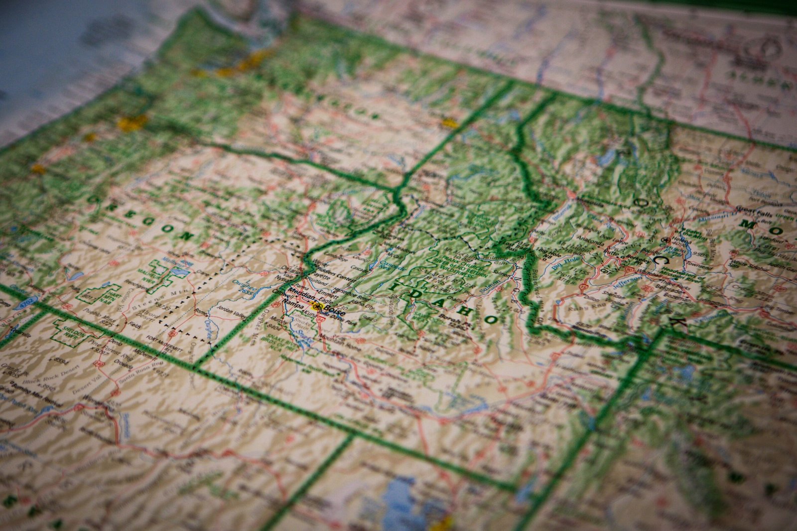
Look at a map of the United States and you will notice an immediate contrast between the eastern and western halves of the country. East of the Mississippi River, state boundaries twist and wind along rivers, mountain ridges, and colonial land grants. West of the Mississippi, states take on crisp geometric rectangles bounded by lines of latitude and longitude—yet even those straight lines contain notches, panhandles, and “chimneys” caused by 19th-century surveying errors and political compromises.
1. Why Western States Are Rectangles: The Land Ordinance of 1785
After the American Revolution, Thomas Jefferson proposed dividing newly acquired western territories along uniform parallels of latitude and meridians of longitude rather than relying on irregular natural landmarks (“metes and bounds”). Congress formalized this grid system in the Land Ordinance of 1785 and the Northwest Ordinance of 1787.
- Colorado and Wyoming are the only two U.S. states whose borders are pure spherical rectangles formed entirely by lines of latitude and longitude (37°N to 41°N and 41°N to 45°N, respectively).
- The Four Corners: The intersection of 37°N latitude and 109°03′W longitude is the only place in the United States where four states—Arizona, Colorado, New Mexico, and Utah—meet at a single point.
2. Famous Panhandles and Notches Explained
Many of America’s oddest-looking state protrusions are the result of specific historical deals:
- The Oklahoma Panhandle (“No Man’s Land”): Under the Missouri Compromise of 1820, slavery was prohibited north of the 36°30′ parallel. When Texas entered the Union as a slave state in 1845, it had to surrender its northernmost strip of land above 36°30′. Because Kansas’s southern border was set at 37°N, that 34-mile-wide strip remained unattached public land for decades until it was joined to Oklahoma Territory in 1890.
- The Missouri Bootheel: When Missouri applied for statehood in 1820, wealthy planter John Hardeman Walker lobbied Congress to drop the state’s southeastern border south from 36°30′ to 36°N along the St. Francis River so his plantations between the St. Francis and Mississippi rivers would be included in Missouri rather than Arkansas Territory.
- The Southwick Jog (Massachusetts / Connecticut): That tiny rectangular notch dipping out of Massachusetts into northern Connecticut dates back to a 1642 surveying error by Nathaniel Woodward and Solomon Saffery. When the two colonies finally settled the border dispute in 1804, they split the disputed town of Southwick—giving Connecticut the western half and letting Massachusetts keep the eastern half around Congamond Lakes.
- The Kentucky Bend (Bubbleland): Separated completely from the rest of Kentucky by a double-hairpin loop of the Mississippi River, this 17-square-mile exclave can only be reached by road by driving through Tennessee—a quirk created when surveyors extended the 36°30′ border line straight across a meandering river bend.
3. When Rivers Shift: States Divided Across Their Own Boundaries
Because rivers naturally erode their banks and change course during major floods, using a river as a state boundary creates permanent geographic anomalies:
- Carter Lake, Iowa: Originally located on the east (Iowa) side of the Missouri River, an 1877 flood cut off an oxbow loop and shifted the river channel east of the town. The U.S. Supreme Court ruled in 1892 that sudden river avulsions do not move state borders—leaving Carter Lake as the only part of Iowa situated west of the Missouri River, surrounded by Omaha, Nebraska.
- Liberty Island and Ellis Island (New York / New Jersey): Although both islands sit well inside New Jersey’s side of New York Harbor, an 1834 interstate compact gave New York sovereignty over the original islands while granting New Jersey jurisdiction over the submerged harbor waters—and subsequent land reclamation around Ellis Island led to a 1998 U.S. Supreme Court decision splitting Ellis Island’s expanded acreage between the two states.
4. The Toledo War: When Ohio and Michigan Nearly Fought Over a Strip of Land
In 1835, an inaccurate colonial map caused both Ohio and Michigan Territory to claim the Toledo Strip, a 468-square-mile band of land containing the port of Toledo at the mouth of the Maumee River. Both sides mobilized state militias in the bloodless “Toledo War” until President Andrew Jackson brokered a compromise in 1836: Ohio kept the Toledo Strip, and in exchange, Michigan was granted statehood along with the vast, mineral-rich Upper Peninsula—a trade that ultimately gave Michigan billions of dollars in copper, iron ore, and timber wealth.