From temperate rainforests along the Pacific Northwest coast to barren salt flats in the Mojave Desert, the United States encompasses nearly every major climate zone on Earth. Using 30-year climate normals (1991–2020) compiled by the National Oceanic and Atmospheric Administration (NOAA), comparing statewide average annual precipitation reveals stark contrasts across all 50 states.
The 5 Wettest States in the United States
- Hawaii — ~63.7 inches per yearMoisture-laden Pacific trade winds slam into Hawaii’s steep volcanic mountains, creating intense orographic rainfall. Mount Waiʻaleʻale on Kauaʻi averages roughly 370 to 400 inches of rain annually, making it one of the wettest spots on Earth, even though leeward beaches just 20 miles away receive under 20 inches.
- Louisiana — ~60.1 inches per yearAmong the contiguous 48 states, Louisiana ranks first in annual precipitation. Warm, humid air masses flowing northward from the Gulf of Mexico fuel frequent summer thunderstorms, tropical systems, and heavy winter frontal rains across the state.
- Mississippi — ~59.0 inches per yearBordering Louisiana along the Gulf Coast, Mississippi experiences high year-round humidity and heavy convective rainfall, particularly during spring and summer.
- Alabama — ~58.3 inches per yearMobile, Alabama frequently ranks as the single wettest major city in the contiguous United States, averaging over 66 inches of rain per year—more than Seattle or Portland.
- Florida — ~54.5 inches per yearSurrounded by the Atlantic Ocean and Gulf of Mexico, Florida’s afternoon sea-breeze thunderstorms and summer tropical storms keep statewide rainfall well above 50 inches annually.
(Why Doesn’t Washington Rank in the Top 5? Although western Washington’s Olympic Peninsula receives over 140 inches of rain per year, the Cascade Mountains create a massive rain shadow across eastern Washington, where cities like Yakima and Tri-Cities receive fewer than 8 inches annually—pulling Washington’s statewide average down to roughly 38.4 inches.)
The 5 Driest States in the United States
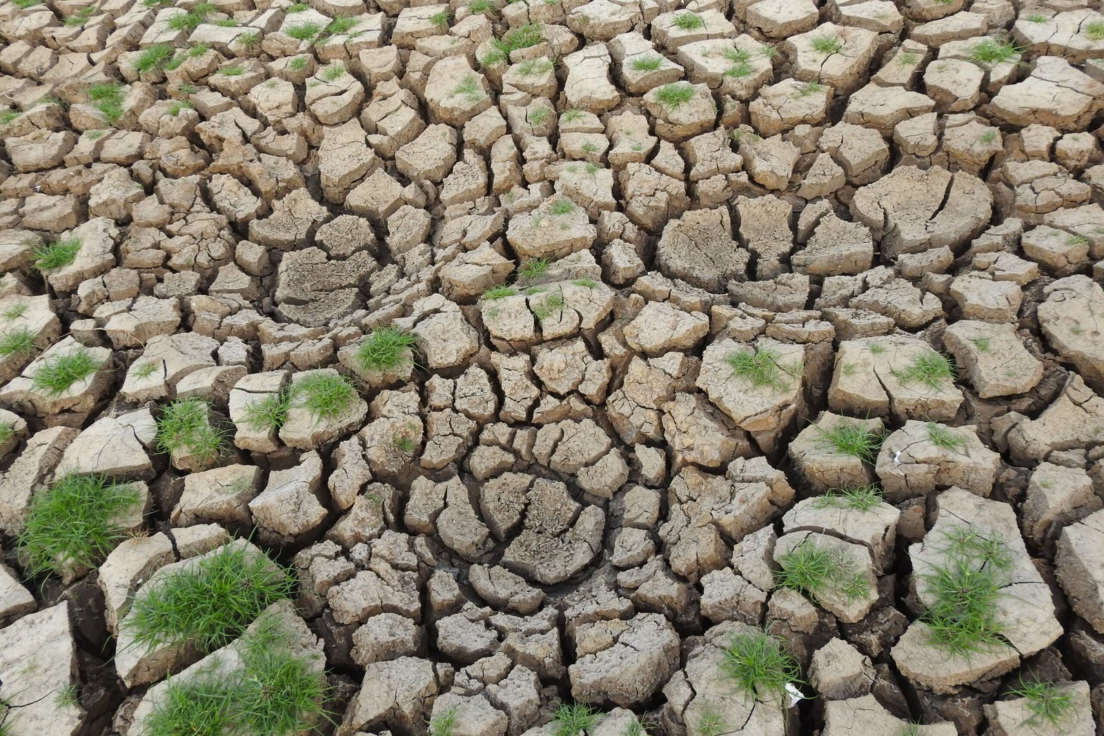
- Nevada — ~9.5 inches per yearNevada is the driest state in America and the only state averaging less than 10 inches of annual precipitation statewide. Located entirely in the rain shadow of California’s Sierra Nevada mountains, Nevada loses almost all Pacific moisture before storms cross the state line. Las Vegas averages just 4.2 inches of rain per year.
- Utah — ~12.2 inches per yearDespite famous winter powder snow in the Wasatch Mountains, Utah’s vast canyonlands, salt flats, and Colorado Plateau deserts keep statewide precipitation just over 12 inches annually.
- Wyoming — ~12.9 inches per yearHigh-elevation basins across central and southwestern Wyoming receive very little moisture once Pacific storms cross Idaho and Montana.
- Arizona — ~13.6 inches per yearContaining portions of the Sonoran, Mojave, Chihuahuan, and Great Basin deserts, Arizona sees brief winter rains and intense July–August North American Monsoon bursts, but overall annual precipitation remains under 14 inches.
- New Mexico — ~14.6 inches per yearHigh-altitude desert plains and mesas keep New Mexico firmly among the five driest states, relying heavily on winter snowpack in the Sangre de Cristo and San Juan mountains to feed the Rio Grande.