The Driest and Wettest States in America Based on 30-Year NOAA Rainfall Data
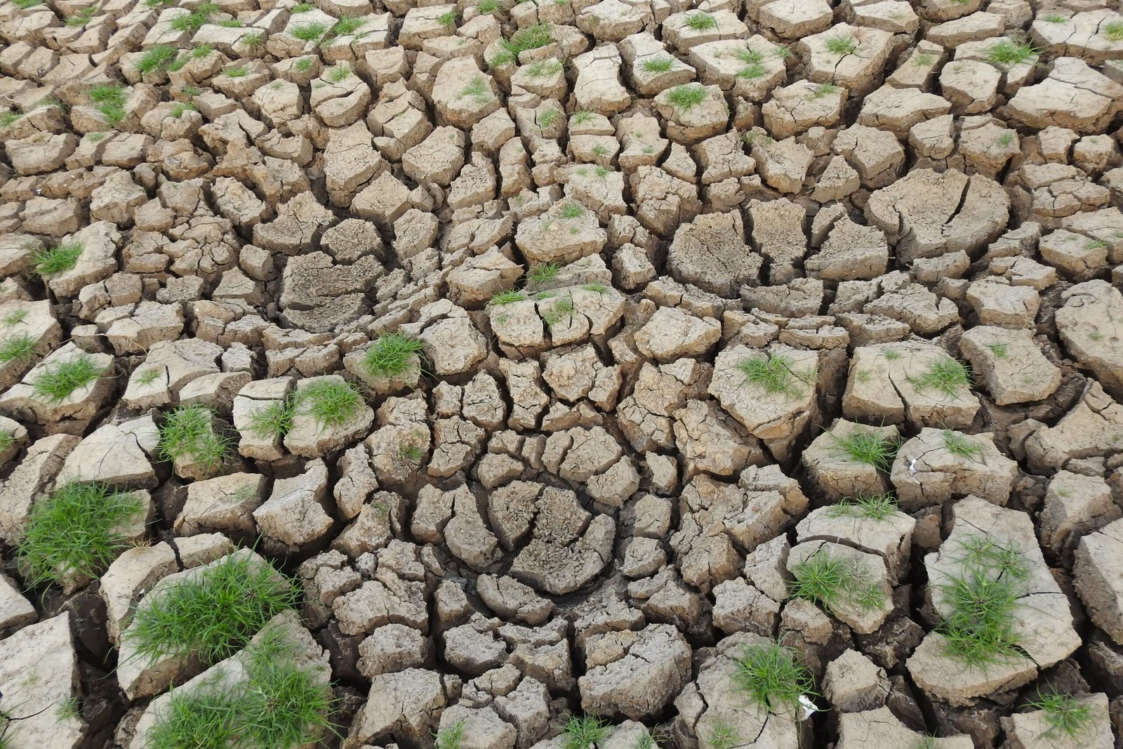
From temperate rainforests along the Pacific Northwest coast to barren salt flats in the Mojave Desert, the United States encompasses nearly every major climate zone on Earth. Using 30-year climate normals (1991–2020) compiled by the National Oceanic and Atmospheric Administration (NOAA), comparing statewide average annual precipitation reveals stark contrasts across all 50 states. The 5 … Read more
The Most Seismically Active US States Outside of California

When Americans think of earthquakes, California’s San Andreas Fault usually comes to mind first. Yet according to the U.S. Geological Survey (USGS), California does not actually experience the highest number of earthquakes in the United States—and several states far from the Pacific Coast sit atop major fault zones capable of producing destructive seismic events. 1. … Read more

A Complete Guide to the Longest Rivers Flowing Through Each US Region

Before interstate highways and transcontinental railroads existed, America’s major river systems served as the primary arteries for exploration, agriculture, and industrial trade. Today, thousands of miles of rivers still define state borders, supply drinking water to tens of millions of residents, and generate hydroelectric power across every region of the United States. 1. The Great … Read more

Which US States Have the Most National Parks and Protected Wilderness Areas?

The United States National Park System encompasses more than 430 individual units—including national monuments, seashores, battlefields, and historic sites—but only 63 sites carry the prestigious congressional designation of “National Park.” While those 63 parks are spread across 30 states and two U.S. territories, a handful of western states hold the vast majority of both National … Read more

The Highest Elevation Point in Every US State and How to Visit Them

When most people picture towering mountain peaks in the United States, their minds immediately jump to Colorado’s Rocky Mountains, Alaska’s Denali, or California’s Sierra Nevada. Yet every single U.S. state—even flat coastal plains like Florida and Delaware—has an official highest natural point tracked by the U.S. Geological Survey (USGS). Visiting all 50 state highpoints, a … Read more

How Coastline Length Is Measured: Ranking the US States With the Longest Shorelines

Looking at a map of the United States, it seems obvious that Alaska, Florida, and California have vast coastlines. Yet if you compare official government rankings of U.S. state coastlines, you will quickly encounter two wildly different sets of numbers. Depending on which federal agency you cite, Florida’s coastline is either 1,350 miles long or … Read more