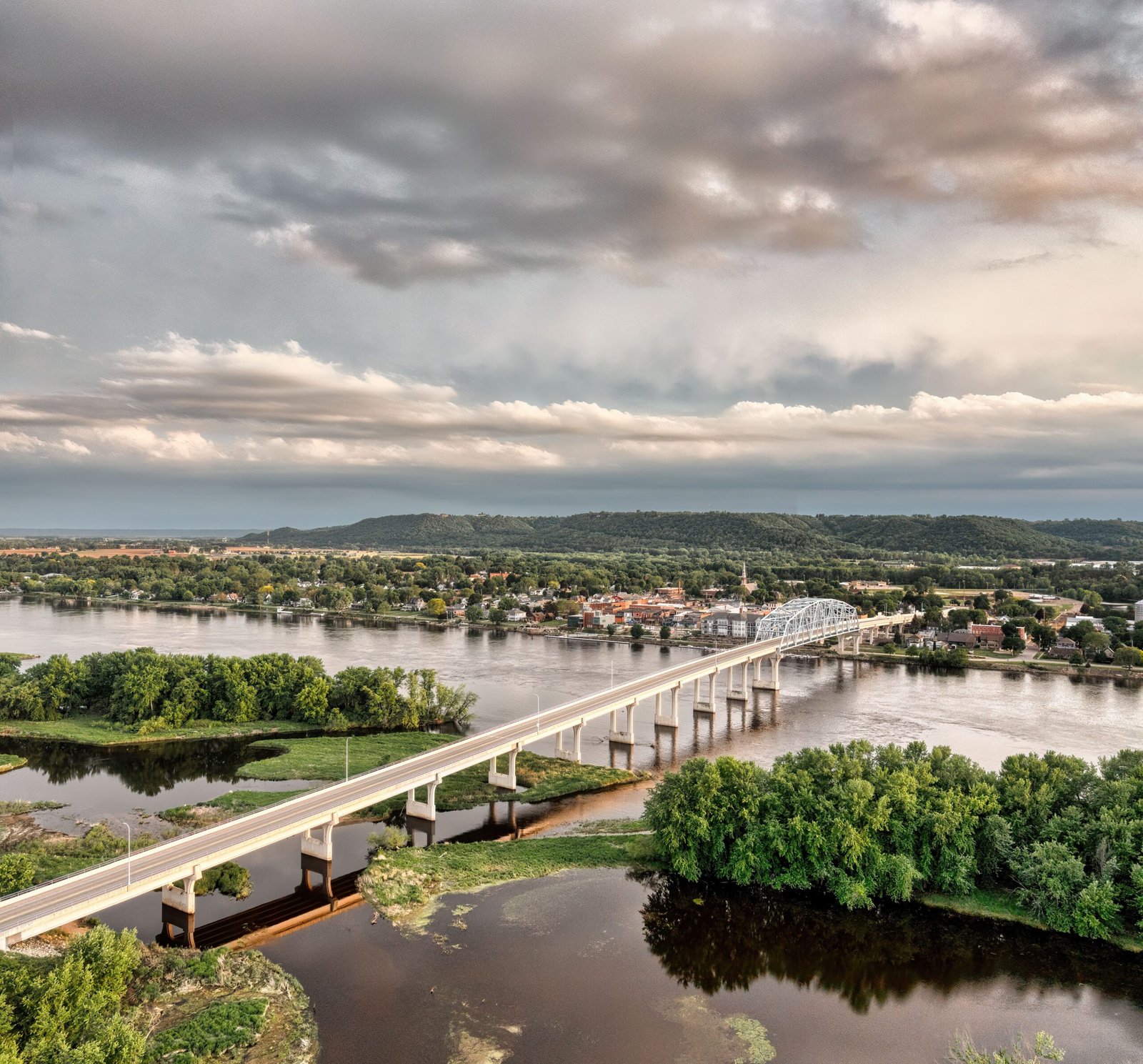
Before interstate highways and transcontinental railroads existed, America’s major river systems served as the primary arteries for exploration, agriculture, and industrial trade. Today, thousands of miles of rivers still define state borders, supply drinking water to tens of millions of residents, and generate hydroelectric power across every region of the United States.
1. The Great Plains and Midwest: The Missouri and Mississippi Systems
The heartland of North America is dominated by the fourth-largest river drainage basin in the world, funneling water from 31 U.S. states and two Canadian provinces into the Gulf of Mexico.
- Missouri River (2,341 miles) — Longest River in North America: Rising in southwestern Montana at the confluence of the Jefferson, Madison, and Gallatin rivers, the Missouri flows through North Dakota, South Dakota, Nebraska, Iowa, Kansas, and Missouri before joining the Mississippi River just north of St. Louis. Known historically as the “Big Muddy” for its heavy silt load, it served as the primary route for the Lewis and Clark Expedition.
- Mississippi River (2,340 miles): Beginning as a small stream flowing out of Lake Itasca in northern Minnesota, the Mississippi forms all or part of the borders of 10 states (Minnesota, Wisconsin, Iowa, Illinois, Missouri, Kentucky, Tennessee, Arkansas, Mississippi, and Louisiana). By the time it reaches Baton Rouge and New Orleans, it discharges an average of nearly 600,000 cubic feet of water per second into the Gulf of Mexico.
- Ohio River (981 miles): Formed at the confluence of the Allegheny and Monongahela rivers in downtown Pittsburgh, the Ohio River carries more water volume into the Mississippi than the Missouri River does, acting as the largest tributary by volume in the Mississippi watershed.
2. The American Southwest: The Rio Grande and Colorado River
In the arid Southwest, two major rivers sustain agriculture and desert metropolises across states that receive less than 15 inches of annual rainfall.
- Rio Grande (1,896 miles): Originating in Colorado’s San Juan Mountains, the Rio Grande flows south through New Mexico before forming the 1,254-mile international border between Texas and Mexico from El Paso to Brownsville.
- Colorado River (1,450 miles): Starting in Rocky Mountain National Park in Colorado, the Colorado River carved the Grand Canyon in Arizona and supplies municipal water and irrigation to over 40 million people across seven states (Colorado, Wyoming, Utah, New Mexico, Nevada, Arizona, and California). Massive reservoirs behind Hoover Dam (Lake Mead) and Glen Canyon Dam (Lake Powell) regulate its flow.
3. The South and Southeast: The Arkansas, Red, and Tennessee Rivers
- Arkansas River (1,469 miles): Flowing east from the Colorado Rockies across Kansas, Oklahoma, and Arkansas, it is the sixth-longest river in the United States and a vital inland shipping waterway via the McClellan–Kerr Navigation System.
- Red River of the South (1,360 miles): Famous for the reddish clay sediment it carries, this river forms much of the boundary between Texas and Oklahoma before entering Arkansas and Louisiana.
- Tennessee River (652 miles): Flowing in a massive U-shaped loop from Knoxville through Chattanooga, northern Alabama, and western Tennessee into Kentucky, the Tennessee River was transformed in the 1930s by the Tennessee Valley Authority (TVA) into a chain of navigable reservoirs and hydroelectric dams.
4. The Pacific Northwest and Alaska: The Yukon and Columbia Rivers
- Yukon River (1,980 miles): Flowing from British Columbia through Canada’s Yukon Territory and across central Alaska to the Bering Sea, the Yukon is the third-longest river in North America and was the primary transportation corridor during the 1898 Klondike Gold Rush.
- Columbia River (1,243 miles): Rising in the Canadian Rockies and flowing through Washington and along the Oregon border, the Columbia is the largest river in the Pacific Northwest by volume—and the largest hydroelectric power-producing river in North America, anchored by the Grand Coulee and Bonneville dams.
5. The Northeast and Mid-Atlantic: The Hudson, Susquehanna, and Connecticut Rivers
- Susquehanna River (444 miles): Flowing from Otsego Lake in upstate New York across Pennsylvania and Maryland into the Chesapeake Bay, the Susquehanna is the longest river on the U.S. East Coast draining into the Atlantic Ocean and supplies roughly half of the fresh water entering the Chesapeake Bay.
- Connecticut River (406 miles): New England’s longest river forms the entire border between New Hampshire and Vermont before bisecting Massachusetts and Connecticut on its way to Long Island Sound.
- Hudson River (315 miles): Flowing south from Mount Marcy in New York’s Adirondacks to New York Harbor, the lower half of the Hudson is actually a tidal estuary where ocean tides reverse the river’s current all the way north to Troy, New York.