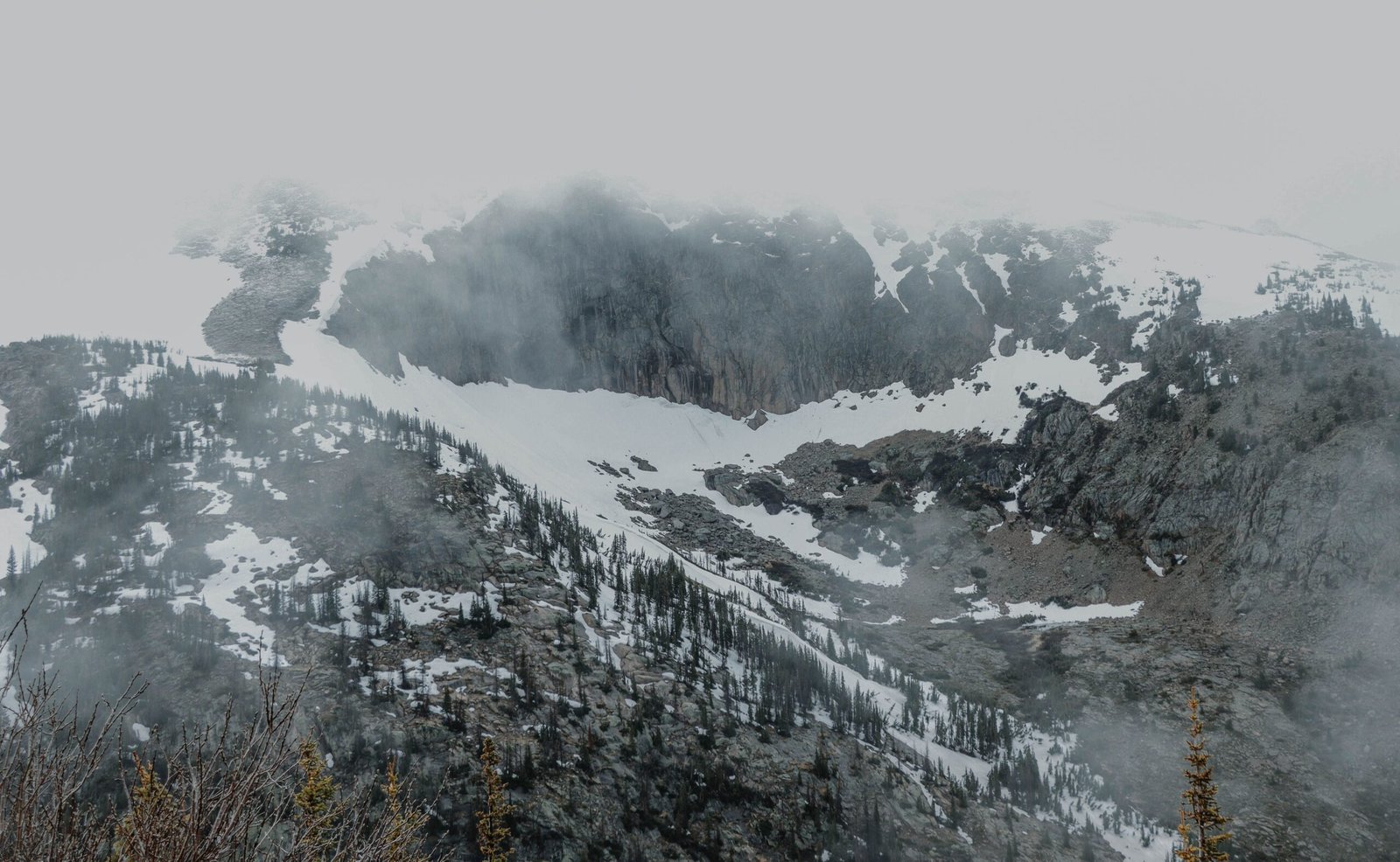
When most people picture towering mountain peaks in the United States, their minds immediately jump to Colorado’s Rocky Mountains, Alaska’s Denali, or California’s Sierra Nevada. Yet every single U.S. state—even flat coastal plains like Florida and Delaware—has an official highest natural point tracked by the U.S. Geological Survey (USGS). Visiting all 50 state highpoints, a hobby known as “highpointing,” offers a tour of America’s wildest geological extremes, ranging from technical glaciated summits to quiet roadside hills.
The Extremes: Highest and Lowest State Highpoints
The elevation gap between America’s highest and lowest state summits spans more than 20,000 feet:
- Highest Overall — Denali, Alaska (20,310 feet): Formerly known as Mount McKinley, Denali is not only the highest peak in the United States and North America, but it also boasts the greatest base-to-peak vertical rise of any mountain entirely above sea level—climbing roughly 18,000 feet directly from the surrounding tundra. Reaching the summit requires a multi-week glacier expedition with experienced mountaineering guides.
- Highest in the Lower 48 — Mount Whitney, California (14,505 feet): Located on the eastern edge of Sequoia National Park in the Sierra Nevada, Mount Whitney can be climbed via a strenuous 22-mile round-trip day hike on the Mount Whitney Trail without technical climbing gear during summer months, though permits are strictly rationed by lottery.
- Lowest State Highpoint — Britton Hill, Florida (345 feet): Situated in Lakewood Park near the Alabama state line in the Florida Panhandle, Britton Hill is the lowest highpoint of any U.S. state—shorter than the Statue of Liberty and its pedestal combined. Visitors can drive directly to the summit marker in a paved county park.
- Second Lowest — Ebright Azimuth, Delaware (448 feet): Located in a quiet residential neighborhood in New Castle County near the Pennsylvania border, Ebright Azimuth is marked by a roadside bench and geodetic survey disk.
Highpoints You Can Drive Right Up To
You do not need mountaineering gear to stand on the roof of many U.S. states. Several prominent peaks feature paved scenic highways or cog railways leading directly to or within a short walk of the summit:
- Mount Evans (Mount Blue Sky), Colorado (14,130 feet): While Mount Elbert (14,440 feet) is Colorado’s true highpoint—accessible via a non-technical 9-mile round-trip hike—Mount Blue Sky features the highest paved road in North America, allowing drivers to reach over 14,100 feet.
- Mount Washington, New Hampshire (6,288 feet): The highest peak in the Northeast is notorious for extreme weather, holding a former world wind-speed record of 231 mph. Visitors can reach the summit via the historic Mount Washington Auto Road, the Mount Washington Cog Railway, or rigorous hiking trails in the White Mountains.
- Mauna Kea, Hawaii (13,803 feet): Measured from its underwater base on the Pacific Ocean floor, Mauna Kea is over 33,500 feet tall—making it taller than Mount Everest from base to peak. Four-wheel-drive vehicles can ascend the summit access road past the Visitor Information Station, though hikers must walk the final short stretch to respect Native Hawaiian cultural sites at the true summit.
- Clingmans Dome (Kuwohi), Tennessee / North Carolina (6,643 feet): The highest point in Tennessee (and the third-highest peak east of the Mississippi River) sits inside Great Smoky Mountains National Park and is reached via a steep half-mile paved walkway from a scenic parking area.
- Spruce Knob, West Virginia (4,863 feet) and Mount Mitchell, North Carolina (6,684 feet): Both feature paved access roads winding through Appalachian spruce-fir forests to observation towers near the summit.
Challenging Non-Technical Hikes in the West and Midwest
For hikers seeking full-day physical challenges without ropes or ice axes, several western and midwestern highpoints stand out:
- Kings Peak, Utah (13,528 feet): Located deep in the High Uintas Wilderness, Kings Peak requires a 27-to-29-mile round-trip backpack or ultra-day hike across high alpine passes.
- Humphreys Peak, Arizona (12,633 feet): Rising above Flagstaff in the San Francisco Peaks, this dormant stratovolcano offers a steep 10-mile round-trip hike with views stretching to the Grand Canyon on clear days.
- Black Elk Peak, South Dakota (7,242 feet): The highest U.S. peak east of the Rocky Mountains sits inside Custer State Park in the Black Hills and is topped by a historic stone fire lookout tower built by the Civilian Conservation Corps.
- Mount Arvon, Michigan (1,979 feet) and Timms Hill, Wisconsin (1,951 feet): Both Upper Midwest highpoints are reached via forested gravel logging roads and short walking paths, showcasing the glacial ridges of the Great Lakes region.
Planning a Safe Highpoint Visit
Even drive-up summits require preparation. Elevation sickness can affect visitors above 8,000 feet regardless of physical fitness, and mountain temperatures frequently drop 30 to 40 degrees colder than nearby valley towns. Checking seasonal road closures—especially on northern peaks like Mount Washington, Mauna Kea, and western passes—ensures a safe visit to each state’s geographic crown.